How does GPS work?
The science behind locating the tracker
Ever wondered how your phone is able to tell you precisely where you are?
That little blue dot on your map app or the navigation system guiding you through unfamiliar streets isn’t magic—it's science! The technology behind it is GPS, or the Global Positioning System, a complex network of satellites, ground stations, and receivers that works seamlessly to pinpoint locations anywhere on Earth. But how does it all come together to provide such accurate information?
Distance Measurement
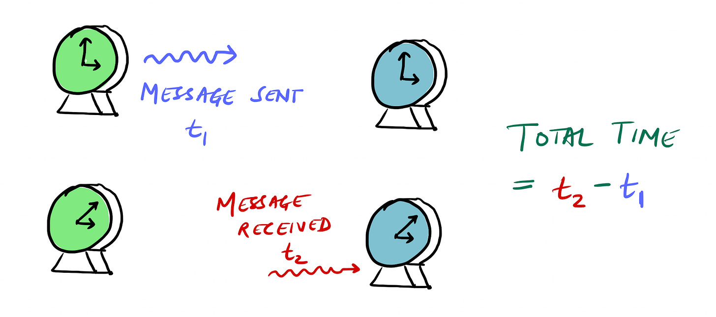
Imagine you have two synchronised clocks. One clock sends a message to the other, and this message includes the exact time it was sent. When the second clock receives the message, it records the time it arrived. By comparing the sending and receiving times, we get the time difference, telling us how long it took for the message to travel between the clocks.
Now, if we know the speed at which the message traveled, we…
Keep reading with a 7-day free trial
Subscribe to Science Sundays to keep reading this post and get 7 days of free access to the full post archives.


